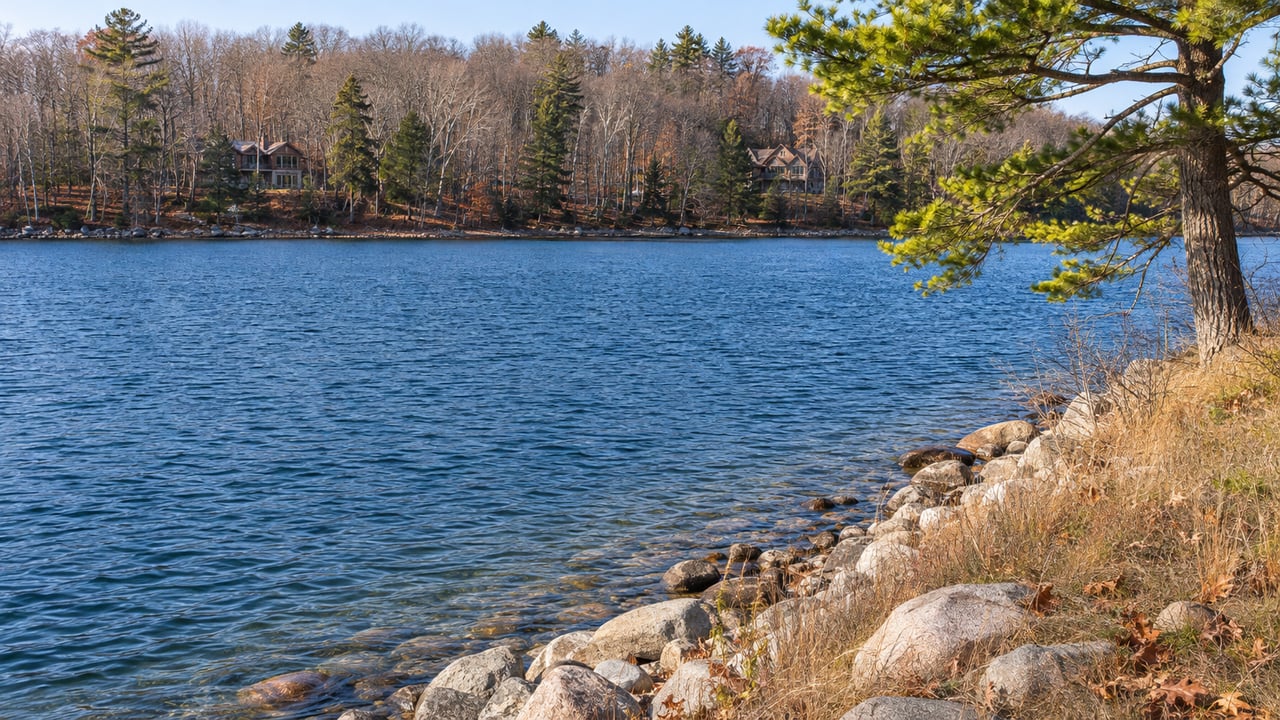
"There is no bridge across the South Arm, and a ferry at Ironton is the only connection within the township between the two sides of the arm." That sentence sits on the front page of Eveline Township's website, where the township describes itself as covering most of the south side of Lake Charlevoix between the cities of Charlevoix and Boyne City, with the South Arm running through the middle of it.
For someone comparing waterfront along the South Arm, that one line matters more than most listing sheets. Two properties can share a township, a tax roll and the same view of the same water and still be a different distance from Charlevoix, Boyne City and East Jordan. Which shore a property is on matters, and so does the time of year. Choosing a shore on the South Arm also means choosing which side of the Ironton Ferry you live on, and the ferry runs on a season and a budget.
An Eighth of a Mile, for Five Dollars
Charlevoix County's ferry page puts the crossing at the Narrows at about one-eighth of a mile, with a round trip of about 10 minutes. The county's posted fares are $5 for a single ride, $50 for a book of 20 tickets, $75 for a month of unlimited crossings, $500 for an annual pass and $1 for a bicycle. Pedestrians ride free.
According to Visit Charlevoix, the ferry sits about six miles south of Charlevoix and about nine miles from both East Jordan and Boyne City. The Petoskey Area visitors bureau lays out a loop around Lake Charlevoix of about 35 miles and roughly 50 minutes. It starts in Boyne City, runs through Charlevoix, follows US-31 south to M-66 and Ferry Road, crosses on the ferry and returns to Boyne City. It also warns drivers to expect waits at the bridge and at the ferry. The bridge in that warning is the US-31 Memorial Drawbridge over the Pine River Channel in Charlevoix, which opens on the hour and half-hour for larger boats.
When MLive covered the ferry's spring opening in 2023, it described a trip of about five minutes each way that saves about 30 minutes of driving around the lake. Set against the fares, the trade is simple. For five dollars, a crossing of about five minutes replaces roughly half an hour on the road. A household that crosses once a day for 30 days pays $75 for the monthly pass, or about $2.50 per crossing. Above 100 crossings a year, the $500 annual pass costs less than single fares.
For a buyer, this changes what "close to town" means on the South Arm. A property near one landing can be a short ride from places that look far away on a map, and a parcel the same distance up the opposite shore may not be. Before comparing two South Arm listings on price, a buyer should know which side of the Narrows each one is on and which towns they expect to use most.
The Shortcut Has a Season
The county describes the ferry's operating season as generally mid-April through mid-November, with hours of 6:30 a.m. to 9:30 p.m. At its October 15, 2026 meeting, the Charlevoix County Transportation Authority heard that the ferry had moved to off-peak hours and that November 25, 2026, the day before Thanksgiving, was the anticipated closing date for the season. Visit Charlevoix gives the same general shape for the season, running to the day before Thanksgiving.
From then until spring, the short crossing is gone, and every trip between the two shores goes around the lake by road. The spring opening date is not fixed either. The Authority's April 2026 minutes held the ferry's opening, planned for April 15, until the fuel line was repaired. Minutes from later that spring record that the Road Commission had replaced the lines, changed oils and filters and adjusted the ramps, and that the ferry was running about 200 cars a day.
This affects owners in different ways depending on when they are here. A summer owner who arrives after Memorial Day and closes up after the color season sees the ferry running almost every day they are on the lake. A year-round owner, or a family that comes up for the holidays and ski weekends, has a different map for about five months of the year. A buyer who plans to spend Thanksgiving and Christmas at the lake should judge a South Arm property by the drive that is available in December.
The Ferry Carries Daily Traffic
In its Michigan transit facts for fiscal year 2023, MDOT reported that the Ironton Ferry carried 67,247 vehicles and 121,347 passengers. The Authority's July 14, 2026 minutes record a one-day high of 574 cars this past summer, along with oil and fire-pump work by the Road Commission.
At that volume, upkeep comes up at nearly every meeting. In early fall, the county planned a cable replacement that weather pushed back, and the Coast Guard flagged an oil-pressure gauge that was not working, which has since been fixed. The boat, officially named the Charlevoix, is owned by Charlevoix County and operated by the County Transportation Authority, according to The Sun Times News. The Authority's 2026 minutes show the Road Commission doing the mechanical work.
The Landings Are Slated for Replacement in 2027
The landings on each shore need more work than the boat. In a July 23, 2025 site evaluation for the county, Machin Engineering inspected both landings at 10122 Ferry Road. These are the bridge sections, ramps and lift structures that meet the ferry on the east and west sides of the Narrows. Machin recommended replacing the bridge approaches, ramps and transition plates, rebuilding the lift platforms and replacing the wooden abutment piles with steel H-piles. Machin's July 2024 estimate for the "Ironton Ferry Docks Replacement" came to $1,196,000, including a 30% contingency.
The project has taken time to reach construction. The Authority's minutes from September and October 2026 tie the main delay to whether the ramps had historic significance. In October, a letter from the State Historic Preservation Office confirmed the ramps are not a historical landmark. In an October 29, 2026 letter in the Authority's November 10 meeting packet, Machin says the project went through about two more years of permitting and design work than planned. Construction first expected in 2024 is now projected for 2027, and the revised cost estimate rose 24%. The engineers looked again at saving the current bridge and ramp decks and still recommend replacing them because of corrosion in the structure underneath.
On funding, the Authority reported in October that MDOT has $960,000 in active grants allocated to it and that $1.3 million in non-grant funds is held in a separate account. The board asked for a prioritized list of shovel-ready projects. The July minutes note that three of the four MDOT grants expire within a year. The Authority's next meeting is set for December 8, 2026, at 9 a.m.
For a buyer, new landings mean the crossing should be in better shape for the long term. The Authority posts its meeting packets on the county website, and the project's bids, funding and timing have all come before that board. Anyone weighing a South Arm property this winter, especially one whose appeal depends on being near the crossing, can follow the project there.
Reading a South Arm Listing With the Ferry in Mind
All of this changes a few questions in a shore comparison. A Main Basin property between Charlevoix and Boyne City has the same road access in every month of the year. A South Arm property's access depends partly on a vessel that runs from spring until the day before Thanksgiving. Neither is better in general. They fit different owners. We covered the broader differences between the lake's two basins in our guide to Lake Charlevoix waterfront from the Main Basin to the South Arm. The ferry is the part of that comparison that changes with the season.
The first question is which side of the Narrows the property sits on. Which town will you use for groceries, dinner, the marina or the drive to Boyne Mountain, and is it on the same side? How many of your weeks at the lake fall between late November and spring? If you plan to cross often in summer, which fare fits your pattern? For summer owners, a property a few minutes from a landing can feel closer to Charlevoix or Boyne City than its mileage suggests. For winter owners, the same property is as far as the road around the lake.
Our Lake Charlevoix neighborhood page has the wider picture of the lake. For the ferry in high summer, our post on a local's Lake Charlevoix Thursday covers the crossing at its busiest.
A Few Direct Questions
When does the Ironton Ferry stop running for the year? The Authority's October 2026 minutes list November 25, 2026, the day before Thanksgiving, as the anticipated closing date. The county's general season runs mid-April through mid-November.
Is there a bridge anywhere across the South Arm? No. Eveline Township's website says there is no bridge across the South Arm and that the Ironton ferry is the only connection within the township between its two sides.
Will the 2027 landing work affect the ferry season? Construction is projected for 2027, according to Machin Engineering's October 29, 2026 letter to the county. The project's funding and bidding go before the Charlevoix County Transportation Authority, whose next meeting is December 8, 2026.
If you are weighing two shorelines on the South Arm and want to know how each one works in July and in December, Pat Leavy and the Kidd & Leavy team can walk both sides of the Narrows with you, from the landing on Ferry Road to the road around the lake. Schedule a free consultation, and we'll map your property search around the crossing.